
Koumeika Village in Samos
🌿 Koumeika, Samos – The Traditional Community Between Karvounis and the Southern Coast
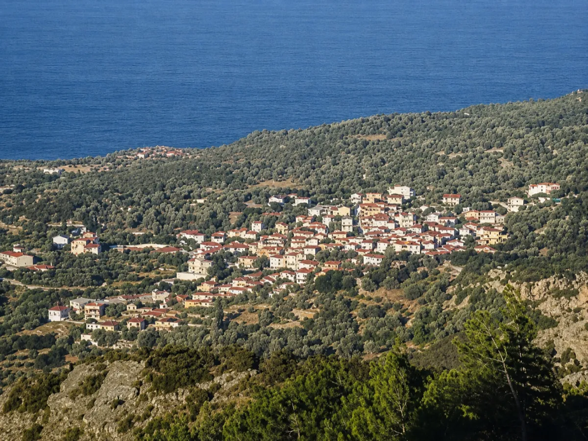
The Municipal Community of Koumeika lies in southwestern Samos, combining the semi-mountainous landscape of Mount Karvounis with the nearby coastal zone. Its administrative seat is the village of Koumeika, while the community also includes Velanidia Koumeikon and the coastal settlement of Ormos Koumeikon, also known as Balos.
The village stands out for its traditional architecture, large square with a centuries-old plane tree, historic Church of Agios Nikolaos and narrow lanes that preserve the character of the Samian countryside. The southern coast lies only a short distance away, allowing visitors to combine a walk through the village with swimming, dining and a seaside stroll at Ormos Koumeikon.
According to the revised final results of the 2021 census, the Municipal Community of Koumeika has a total of 332 permanent residents. Of these, 302 were recorded in Koumeika, 19 in Velanidia and 11 in Ormos Koumeikon.
📍 Location and Natural Environment
Koumeika is built on the southwestern slopes of Mount Ampelos, also known as Karvounis, at an altitude of approximately 190 metres. The village lies among low hills and cultivated land, in a position sheltered from direct visibility from the sea.
The choice of this inland location is connected with the historical need to protect residents from raids arriving from the coast. Despite its position away from the shoreline, the village lies only about 2.4 kilometres from Ormos Koumeikon and the southern coast.
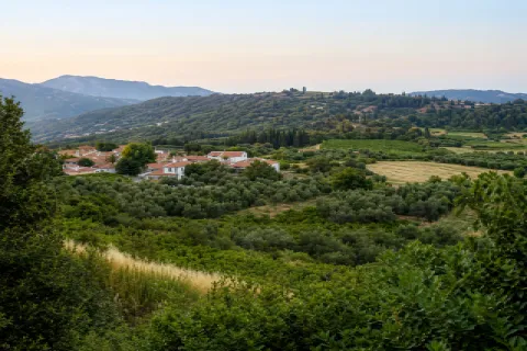
The landscape surrounding the community includes olive groves, gardens, carob trees, vineyards and cultivated fields. From certain points in the village, views open towards southern Samos and the Aegean Sea.
🏛️ Administrative Identity of the Community
The Municipal Community of Koumeika belongs to the Municipal Unit of Marathokampos within the Municipality of Western Samos. The municipality forms part of the Regional Unit of Samos in the North Aegean Region.
The community includes:
✅ The village of Koumeika, which serves as its administrative seat
✅ Velanidia Koumeikon
✅ Ormos Koumeikon, also known as Balos
The community was officially established on 21 September 1918. In 1997, it became part of the Municipality of Marathokampos, in 2010 it was incorporated into the unified Municipality of Samos and, since 2019, it has belonged to the Municipality of Western Samos.
📝 The Name Koumeika
Two main explanations have been recorded regarding the origin of the name. The first connects the earliest residents with Kymi on the island of Evia, which was formerly also known as “Koumi”. According to this interpretation, the village name developed from the place of origin of its first families.
The second explanation attributes the name to one of the earliest residents, who came from the neighbouring village of Spatharaioi and was named Koumas. The existence of other local place names derived from family names supports the possibility that Koumeika developed around an early family group.
The name Koumeika remains the established form used for the village in English and in everyday local usage.
📜 The Foundation and Development of the Village
The establishment of Koumeika is generally placed in the early 18th century, although the first families may have settled in the area somewhat earlier. The Church of the Dormition of the Virgin Mary, dating from 1754, shows that an organised community already existed by the middle of the 18th century.
During the 18th and 19th centuries, the village developed through agriculture and trade in local produce. Goods were transported to Ormos Koumeikon, from where they were shipped by small vessels to other Aegean islands.
The community gradually acquired a school, churches, an organised square, a public fountain and productive infrastructure. By the late 19th and early 20th centuries, Koumeika was among the most populous agricultural villages of southern Samos.
👥 Population and Present-Day Life
In the 2011 census, the community had a total of 370 residents: 315 in the village of Koumeika, 10 in Velanidia and 45 in Ormos Koumeikon. In 2021, the total population of the community was recorded as 332 permanent residents.
Despite the decline compared with previous decades, Koumeika remains an active village with permanent residents, a traditional coffee house, small businesses, cultural activities and strong ties with members of the community living elsewhere.
The square continues to form the centre of social life. During summer, activity increases as visitors and residents who live away from the island return for holidays and local events.
🏘️ Architecture and Neighbourhoods
The village has a compact structure, with houses built around the square, the Church of Agios Nikolaos and the older neighbourhoods. Its narrow lanes follow the natural shape of the hillside and, in several places, form small inclines, passageways and stone-paved sections.
Traditional homes with stone foundations, tiled roofs, wooden doors and windows, external stairways, balconies and flower-filled courtyards have been preserved. Newer and restored houses stand among them, largely respecting the scale and character of the village.
The traditional centre of Koumeika has been recognised for its special natural and architectural interest and is protected by specific building regulations.
🌳 The Square and the Centuries-Old Plane Tree
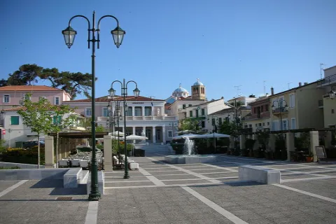
The large village square is the most distinctive part of Koumeika. At its centre stands a centuries-old plane tree planted in 1882 by the monk Ioannis Pantazakis.
Its dense foliage shades much of the square, creating a naturally cool meeting place during the summer months. Traditional buildings, the Church of Agios Nikolaos and gathering places for residents surround the square.
The impressive public fountain with three water spouts was also constructed in 1882. It has been designated a protected historic monument and remains an important feature of the square.
⛪ The Parish Church of Agios Nikolaos
The parish church of Koumeika is dedicated to Agios Nikolaos. It is a three-aisled domed basilica whose foundation stone was laid in 1841 and which was completed in 1844.
The carved wooden iconostasis was constructed in 1868, while older icons and ecclesiastical books are preserved inside the church. Among its most important objects are an icon of Agios Nikolaos dated 1756 and Gospel books from the 18th century.
The church stands beside the square and forms the principal centre of religious life in the community. Its feast day is celebrated on 6 December.
⛪ The Church of the Dormition of the Virgin Mary
Northwest of the village stands the old Church of the Dormition of the Virgin Mary, dating from 1754.
Its age makes it important evidence of an organised community in the area by the middle of the 18th century. Its position outside the densely built centre connects it with the older neighbourhoods and agricultural routes surrounding the village.
🏛️ The Koumeika Folklore Museum
The “D. Papaioannou” Folklore Museum of Koumeika presents objects connected with everyday life, agriculture, traditional occupations and the social history of the community.
Its collection includes old tools, household utensils, furniture, woven fabrics, photographs and objects once used in local homes and agricultural work. The exhibits illustrate daily life before the mechanisation of farming and the widespread use of modern household appliances.
The museum does not operate according to a fixed daily timetable, and visits are generally arranged in advance.
🫒 Agricultural Production
The community’s economy has traditionally been based on agriculture. Olive cultivation and olive-oil production were among its principal activities, while Koumeika was also known for its onions and vegetables.
Anise and carob trees were also cultivated in the past. Their products were used both in the local diet and as animal feed. Cultivation extended across the hillsides surrounding the village and the lower areas towards the coast.
At the same time, several residents worked in shipping. By the middle of the 20th century, a considerable proportion of the male population worked as seafarers, continuing the community’s connection with trade and the sea.
🌊 Ormos Koumeikon – Balos
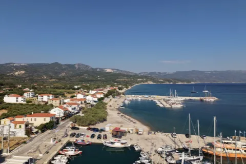
Ormos Koumeikon lies approximately 2.4 kilometres south of the village and serves as the coastal settlement of the community. It is also known as Balos and extends along the beach of the same name.
During the 18th and 19th centuries, it operated as a trading point for Koumeika and neighbouring villages. Olive oil, onions, anise, carobs and other agricultural products were transported to warehouses near the coast and then loaded onto small vessels bound for other islands.
Today, Ormos Koumeikon has a tourism-oriented character, with accommodation, dining establishments and a long pebble beach with clear water. According to the 2021 census, it has 11 permanent residents.
🌿 Velanidia Koumeikon
Velanidia lies southwest of Koumeika and forms a small coastal part of the community. It was officially recognised as a separate settlement in 1991.
The area is characterised by scattered buildings, agricultural land and access to the southern coastline. The 2021 census recorded 19 permanent residents.
🌿 What to See
During your visit to the Municipal Community of Koumeika, take time to discover:
✅ The large square of Koumeika
✅ The centuries-old plane tree planted in 1882
✅ The historic public fountain with three water spouts
✅ The parish Church of Agios Nikolaos
✅ The carved wooden iconostasis and old icons inside the church
✅ The Church of the Dormition of the Virgin Mary, dating from 1754
✅ The “D. Papaioannou” Folklore Museum
✅ The traditional houses and stone-paved lanes
✅ The olive groves and rural routes
✅ Velanidia Koumeikon
✅ Ormos Koumeikon and Balos Beach
🚶 The Visitor Experience
A visit can begin in the square, where the plane tree, historic fountain and Church of Agios Nikolaos are located. From there, visitors can follow the narrow lanes and explore the old neighbourhoods and traditional architecture.
The walk can continue to the Folklore Museum and the Church of the Dormition of the Virgin Mary. Afterwards, the route towards Ormos Koumeikon offers the opportunity for swimming, a seaside walk and a meal beside the water.
Approximately 60–90 minutes are sufficient for a basic tour of the village. With a visit to the museum, a walk at Ormos Koumeikon and a meal, the excursion can last several hours.
📆 When to Visit
Spring: An ideal period for green landscapes, flowering courtyards, rural routes and mild temperatures.
Summer: Suitable for combining a village visit with swimming at Balos. The square remains pleasantly cool beneath the shade of the plane tree.
Autumn: Ideal for peaceful walks, photography and scenes connected with rural life and olive cultivation.
6 December: The feast day of Agios Nikolaos, the patron saint and protector of the village.
🧭 How to Get There
Koumeika is accessible by paved road from Karlovasi, Marathokampos, Skouraika and the southern coastal zone. The route is suitable for a conventional car, although there are bends along the sections crossing the hills.
The village lies approximately:
✅ 9.5 kilometres from Marathokampos
✅ 14 kilometres from Karlovasi
✅ 27 kilometres from Pythagoreio
✅ 40.5 kilometres from Samos Town
✅ 2.4 kilometres from Ormos Koumeikon
ℹ️ Useful Information
✅ Official name: Municipal Community of Koumeika
✅ Administrative seat: Koumeika
✅ Character: Traditional semi-mountainous agricultural community
✅ Location: Southwestern Samos, southwestern slopes of Mount Karvounis
✅ Villages and settlements of the community: Koumeika, Velanidia and Ormos Koumeikon
✅ Municipal unit: Marathokampos
✅ Municipality: Western Samos
✅ Regional unit: Samos
✅ Region: North Aegean
✅ Establishment of the community: 21 September 1918
✅ Population of the community in 2021: 332 permanent residents
✅ Population of Koumeika in 2021: 302 permanent residents
✅ Population of Velanidia in 2021: 19 permanent residents
✅ Population of Ormos Koumeikon in 2021: 11 permanent residents
✅ Altitude of the village: Approximately 190 metres
✅ Parish church: Agios Nikolaos
✅ Foundation of the church: 1841
✅ Completion of the church: 1844
✅ Historic church: Dormition of the Virgin Mary, 1754
✅ Historic plane tree: Planted in 1882
✅ Museum: “D. Papaioannou” Folklore Museum of Koumeika
✅ Main products: Olive oil, onions and vegetables
✅ Coastal area: Ormos Koumeikon – Balos
✅ Postal code: 83104
✅ GPS coordinates: 37.7096, 26.7484
✅ Road access: Paved road
✅ Suggested visiting time: Approximately 1–4 hours
✅ Ideal for: History, traditional architecture, rural landscapes, photography, gastronomy and swimming


Add new comment