
Stavrinides of Samos
🏞️ Stavrinides, Samos – The Mountain Village of Springs and Vineyards
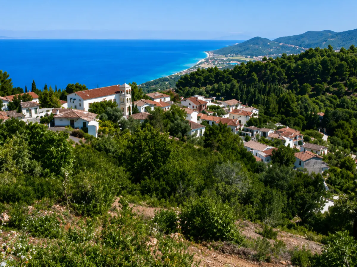
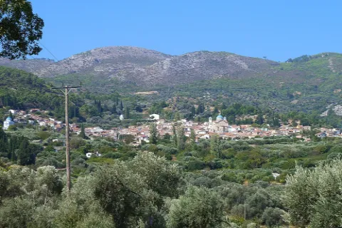
Stavrinides is one of the smallest mountain villages of Samos, built on the northern side of the island, along the northern slopes of Mount Karvounis. It stands at an altitude of approximately 380 metres, surrounded by natural springs, vineyards, olive groves, orchards and dense vegetation.
The village lies approximately 2 kilometres southeast of Ampelos and is connected by road with Agios Konstantinos and the other communities of northern Samos. Several locations around the settlement offer open views across the northern coastline and the Aegean Sea.
Administratively, Stavrinides forms the Municipal Community of Stavrinides, which belongs to the Municipal Unit of Vathy, the Municipality of Eastern Samos, the Regional Unit of Samos and the North Aegean Region. According to the 2021 census, the village has 42 permanent residents.
📍 Location and Character
Stavrinides lies in the mountainous interior of northern Samos, between the village of Ampelos and the wooded slopes descending towards Agios Konstantinos and the northern coast.
The settlement has developed along the natural contours of the terrain, with houses and neighbourhoods built at different levels. Abundant water, small streams and thick vegetation create a cool natural environment, particularly noticeable during spring and summer.
Since 2002, Stavrinides has been officially recognised as a settlement of exceptional natural beauty. Its protected character is connected with the preservation of its traditional appearance, natural surroundings and distinctive architectural features.
📜 History and the Origin of the Village Name
The name “Stavrinides” is associated with the surname Stavrinos, believed to have belonged to one of the settlement’s first inhabitants. The foundation of the village is connected with the development of the mountain communities of northern Samos following the repopulation of the island.
In 1851, during the period of the Principality of Samos, Stavrinides formed part of the Municipality of the “Six Neighbourhoods”, together with Agios Konstantinos, Ampelos, Manolates, Valeontades and Margarites.
In 1900, Stavrinides and Ampelos formed a separate municipality. In 1907, they were incorporated once again into the Municipality of the Six Neighbourhoods. Following the union of Samos with Greece, the settlement was later organised as an independent community.
🏛️ Administrative Development
In 1918, the settlement, officially recorded under the name “Stavrinidai”, was incorporated into the Community of Agios Konstantinos. In 1919, it was separated from that community and designated as the administrative seat of the newly established Community of Stavrinides.
In 1940, its official name was corrected to “Stavrinides”. In 1997, the community became part of the Municipality of Vathy, in 2010 it was incorporated into the unified Municipality of Samos and, since 2019, it has belonged to the Municipality of Eastern Samos.
👥 Population Development
Stavrinides had a considerably larger population in the past. In 1940, the village recorded 301 residents, while in 1961 it had 216 and in 1981 the population had declined to 136.
The decrease continued during the following decades, with 93 residents recorded in 1991, 69 in 2001 and 42 in 2011. The 2021 census also recorded 42 permanent residents.
Despite its population decline, the village remains inhabited throughout the year, while several homes are also used seasonally by people who maintain family connections with the area.
⛪ The Church of Profitis Ilias
The parish church of Profitis Ilias is the principal religious and social landmark of Stavrinides.
Located within the settlement, the church remains closely connected with the daily life and religious traditions of the local community. The feast of Profitis Ilias is celebrated on 20 July, when the traditional village festival takes place.
🚰 The Springs and the Marble Fountain
The abundance of water is one of the defining characteristics of Stavrinides. Natural springs and old fountains once served the daily needs of residents, irrigated the gardens and supported local agricultural production.
One of the village’s most distinctive landmarks is the old marble fountain, which bears the date 1877. It recalls a time when public fountains served both as essential water sources and as gathering places for the local community.
The flowing water supports the surrounding vegetation and creates a cool microclimate, allowing plane trees, fruit trees, grapevines and cultivated gardens to flourish around the houses.
🏡 Traditional Architecture and Neighbourhoods
Stavrinides preserves important features of traditional Samian architecture. Stone-built and plastered houses, tiled roofs, wooden window frames, small balconies, external staircases and narrow stone-paved passages shape the character of the settlement.
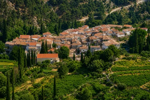
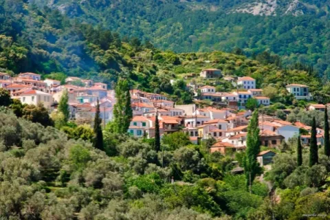
The steep terrain has created neighbourhoods at different levels, with houses following the natural form of the hillside. Stone walls, flower-filled courtyards, grapevines and old buildings marked by time can be seen between the residences.
🍇 Vineyards and Old Wine Presses
Viticulture was one of the principal traditional occupations of the residents. The white small-berried Muscat grape, the characteristic variety used to produce the renowned wines of Samos, is cultivated on the slopes surrounding the village.
Old wine presses, agricultural huts and stone structures connected with grape processing and traditional rural life survive around Stavrinides.
The grape harvest was an important period for the community, bringing families together in the vineyards and combining agricultural work with cooperation and the local winemaking tradition.
🫒 Rural Life and Cultivation
Alongside viticulture, olive cultivation played an important role in village life. Residents also maintained orchards with fruit trees, vegetables and crops that covered many of their household needs.
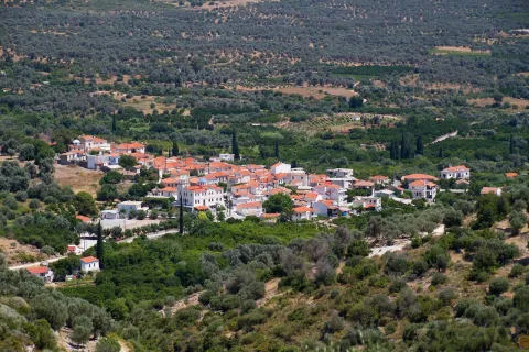
The small cultivated plots follow the natural shape of the slopes and are often supported by old stone terraces. Farming, vineyards and olive groves remain essential elements of the landscape and identity of Stavrinides.
🌳 Nature and Views Across the Aegean
The countryside around Stavrinides is characterised by dense vegetation, vineyards, olive groves, orchards and wooded areas. Its position on the northern slopes of Mount Karvounis provides open views across the northern Aegean and the coastline of Samos.
The small park at the entrance to the village provides a suitable place to stop and enjoy the view, while rural roads and old paths lead deeper into the mountainous landscape.
🥾 The Trail to Manolates
Stavrinides is connected with Manolates by an old stone-paved path that passes through dense vegetation, stone terraces and cultivated land.
The route reveals the historic network that once connected the mountain villages before the construction of the modern road system. It is suitable for hiking, particularly during spring and autumn when temperatures are milder.
Unpaved agricultural routes also lead from the wider area towards higher parts of Mount Karvounis. These tracks require an appropriate vehicle and additional care, especially after rainfall.
🌿 What to See
During your visit to Stavrinides, take time to discover:
✅ The parish church of Profitis Ilias
✅ The old marble fountain dating from 1877
✅ The natural springs and places with flowing water
✅ The traditional houses and narrow village lanes
✅ The courtyards filled with flowers and grapevines
✅ The old wine presses and agricultural huts
✅ The vineyards and olive groves surrounding the village
✅ The historic trail towards Manolates
✅ The views across the northern Aegean
🚶 The Visitor Experience
Stavrinides is not organised around one major tourist attraction. Its charm lies in the complete experience of the village: the narrow passages, old houses, natural springs, vineyards and views appearing between the neighbourhoods.
The settlement is particularly suitable for visitors interested in traditional architecture, viticulture, photography, local history and peaceful routes through nature.
Approximately 45 to 60 minutes are recommended for a relaxed walk through the village. A visit can take longer when combined with a hike towards Manolates or exploration of the surrounding agricultural routes.
📆 When to Visit
Spring: The vegetation is dense, flowing water is more visible and temperatures are ideal for walking.
Summer: The altitude and shade provide cooler conditions than the coastal areas. Morning and late afternoon visits are recommended.
20 July: Profitis Ilias is celebrated with the traditional village festival.
Autumn: The grape harvest highlights the viticultural character of the surrounding area.
Winter: The village is especially peaceful, although careful driving is required during periods of heavy rain, fog or low temperatures.
🧭 How to Get There
From Agios Konstantinos, follow the paved uphill road towards Ampelos. From Ampelos, continue southeast for approximately 2 kilometres until reaching Stavrinides.
The village is approximately 26 kilometres from Samos Town and around 16 kilometres from Karlovasi. The final section is uphill and includes a series of bends, although the entire road is paved.
The streets within the settlement are narrow. Parking near the village entrance and continuing the visit on foot is the most practical option.
ℹ️ Useful Information
✅ Administrative community: Municipal Community of Stavrinides
✅ Municipal unit: Vathy
✅ Municipality: Eastern Samos
✅ Population in 2021: 42 residents
✅ Altitude: Approximately 380 metres
✅ Distance from Samos Town: Approximately 26 kilometres
✅ Distance from Karlovasi: Approximately 16 kilometres
✅ Distance from Ampelos: Approximately 2 kilometres
✅ Postal code: 83200
✅ GPS coordinates: 37.796348, 26.813687
✅ Road access: Paved uphill road
✅ Suggested visiting time: Approximately 45–60 minutes
✅ Ideal for: Traditional architecture, vineyards, photography, nature and hiking


Add new comment