
Skoureika of Samos
🏞️ Skouraika, Samos – The Traditional Village of Olive Groves and Springs
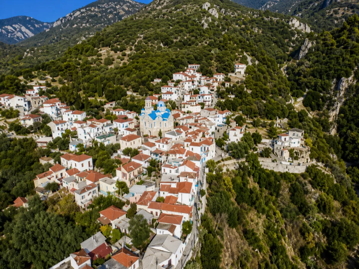
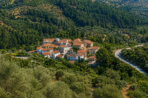
Skouraika is a traditional semi-mountainous village in southern Samos, built on the southwestern foothills of the Karvounis mountain massif at an altitude of approximately 181 metres. It is surrounded by olive groves, cultivated slopes, pine-covered areas and Mediterranean vegetation, while its location connects the mountainous interior with the small coastal settlements of the community.
The village preserves features of traditional Samian architecture and has been designated a settlement of exceptional natural beauty. Its historic character, churches, springs and strong connection with olive cultivation shape an authentic rural destination.
Administratively, Skouraika is the seat of the Municipal Community of Skouraika, which belongs to the Municipal Unit of Marathokampos, the Municipality of Western Samos, the Regional Unit of Samos and the North Aegean Region. According to the 2021 census, the village has 112 permanent residents, while the total population of the Municipal Community is 193.
📍 Location and Character
Skouraika lies on the southern side of Samos, between Neochori, Koumeika and Spatharaioi. The settlement is built within a natural hollow on the hillside, with homes arranged at different levels and narrow lanes following the contours of the terrain.
The surrounding area combines semi-mountainous terrain, rocky sections, olive groves and areas of denser vegetation. Towards the south, as the land descends towards the sea, the slopes become gentler and eventually reach the coastal settlements of the community.
The village offers views across the southern slopes of Samos and, from certain open points, towards the Aegean Sea. Its peaceful atmosphere, limited traffic and rural setting create a very different rhythm from that of the island’s larger settlements.
📜 History and the Origin of the Village Name
The establishment of the present village is connected with the repopulation of Samos and the development of small agricultural settlements during the 17th century.
The name “Skouraika” is associated with Georgios Skouras, one of the earliest and most influential residents of the area. The presence of his family is confirmed by an old icon of Agios Georgios bearing a dedicatory inscription with the name G. Skouras and the date 1718.
Another tradition connects the origins of the first settlers with the village of Skoura in Evia. The two accounts may be related, as the family of Georgios Skouras may have arrived in Samos from Evia during the repopulation of the island.
🏺 Earlier Traces of Habitation
Archaeological remains and traces of earlier habitation have been reported in the wider area of Skouraika. Buildings, tombs and other finds indicate that this part of southern Samos was used long before the creation of the present village.
Christian tombs dating from the Byzantine period have also been reported near the old Church of Panagia, providing evidence of organised life in the area over a long historical period.
🏛️ Administrative Development
The Community of Skouraika was officially established in 1918, with the village as its administrative seat.
The coastal settlement of Kampos was officially recognised and incorporated into the community in 1971. Perri followed in 1981 and Pefkos in 1991.
In 1997, the community was abolished and all four settlements became part of the Municipality of Marathokampos. In 2010, they were incorporated into the unified Municipality of Samos and, since 2019, they have belonged to the Municipality of Western Samos.
👥 The Municipal Community of Skouraika
The Municipal Community of Skouraika includes four officially recognised settlements:
✅ Skouraika: 112 residents
✅ Kampos: 39 residents
✅ Perri: 26 residents
✅ Pefkos: 16 residents
According to the 2021 census, the total permanent population of the community is 193. The three smaller settlements lie along the southern coastal zone and connect the mountain village with the Aegean Sea.
⛪ The Church of Agios Georgios
The parish Church of Agios Georgios is the principal religious and architectural landmark of Skouraika.
The earlier Church of Agios Georgios was built in 1814 on the site where the school garden stands today. Construction of the present church began in 1920, based on designs by the French engineer Dubré, and was completed in 1922.
The present stone-built church has a cross-shaped plan with a dome and dominates the appearance of the village. Its official consecration took place on 23 April 1933 by the then Metropolitan of Samos and Ikaria, Eirinaios.
🖼️ Treasures from the Old Church
The episcopal throne, pulpit, old icon stands, icons, chandeliers, lanterns, processional fans and other ecclesiastical objects were transferred from the old church to the present building.
The old carved wooden iconostasis was donated to the Holy Monastery of Timios Stavros. Of particular historical importance is the icon of Agios Georgios bearing the dedicatory inscription of Georgios Skouras and the date 1718, one of the earliest direct references to the history of the village.
🕊️ The Old Church of Panagia
The historic Church of Panagia also stands in Skouraika. Its original construction is associated with the Kontogiannis family and dates from 1799.
In 1825, it was rebuilt in a larger form with three domes and a narthex. Its distinctive architecture makes it one of the most important historic religious buildings in the village.
🚰 Springs and Flowing Water
The springs and small streams of the area contributed to the development of local cultivation and family gardens. Water played an essential role in daily life, irrigation and the preservation of denser vegetation around the village.
East of Skouraika lies the Dimza spring, within a landscape of trees and rich vegetation. It is one of the most characteristic natural locations near the settlement and can be included in a short exploration of the surrounding countryside.
🌳 Natural Environment and Vegetation
The wider area includes different natural zones, from the semi-mountainous slopes to the southern coast. Olive groves alternate with pine trees, cypresses, carob trees, wild olive trees, kermes oaks, strawberry trees, mastic shrubs, myrtles and low Mediterranean scrub.
Plane trees, chaste trees, oleanders and other moisture-loving plants grow along stream beds and near springs. Towards the coastal areas, the landscape becomes drier, with olive groves and lower Mediterranean vegetation.
🏡 Traditional Architecture and Neighbourhoods
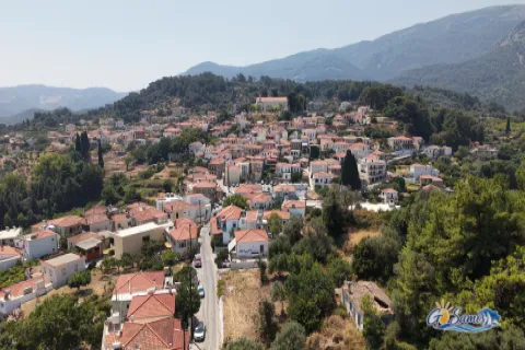
Skouraika preserves elements of the traditional architecture of southern Samos. Stone-built and plastered houses, tiled roofs, wooden window frames, small courtyards and external staircases form the historic centre of the village.
The narrow passages follow the slope of the terrain and connect small neighbourhoods arranged at different levels. Stone walls, courtyards filled with flowers, olive trees and grapevines complete the rural appearance of the settlement.
The designation of Skouraika as a settlement of exceptional natural beauty is connected with the preservation of its traditional form and the surrounding natural environment.
🫒 Olive Cultivation and Rural Life
Olive cultivation is the most important traditional agricultural activity in Skouraika. Olive groves extend around the village and continue towards the lower southern areas.
Olive oil has always been closely connected with the local economy, diet and daily life. Vegetables, fruit trees, almond trees, grapevines and small family plots were also traditionally cultivated.
Old stone terraces support the soil on the slopes and reflect the long-standing efforts of the residents to make productive use of the semi-mountainous terrain.
🍲 Traditional Keskeki
During the festival of Agios Georgios, the local tradition known as the “giorti”, or keskeki, is revived.
The traditional dish is prepared with wheat, meat and onions. It is cooked for many hours through the collective participation of the residents before being offered to those attending the celebration.
Keskeki is one of the oldest traditions of Skouraika and serves as a symbol of hospitality, cooperation and community unity.
🏝️ The Coastal Settlements
The community’s three coastal settlements form the natural extension of Skouraika towards the southern shore:
✅ Kampos: A small coastal settlement approximately 4.5 kilometres southwest of the village
✅ Perri: A coastal area approximately 2.5 kilometres southwest, near Psili Ammos Beach
✅ Pefkos: A seaside settlement approximately 4.5 kilometres from the village
These areas include small beaches, rocky coastlines, olive groves and homes used either permanently or seasonally.
⚓ Pefkos and the Old Coastal Port
Pefkos once served as the coastal port of Skouraika. Warehouses stood along the shoreline, where agricultural products from the village and the surrounding area were gathered.
The goods were transported by traditional boats to other parts of Samos and to Aegean islands such as Fournoi, Ikaria, Patmos and Lipsi. This historic activity connected the agricultural production of the village with the maritime economy of the region.
🏖️ The Coastline of the Community
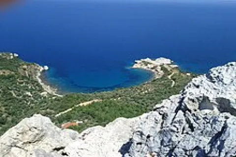
The southern coastline of the Municipal Community of Skouraika remains peaceful and less developed than many of the more tourist-oriented areas of Samos.
Psili Ammos in Perri is a secluded beach with sand and pebbles, while the shores around Kampos and Pefkos combine small coastal sections, rocky points and clear water.
Access to some coastal areas includes narrow concrete or unpaved roads and short paths, so careful driving is required.
🌿 What to See
During your visit to Skouraika, take time to discover:
✅ The stone-built Church of Agios Georgios
✅ The historic icon bearing the inscription from 1718
✅ The old Church of Panagia with its three domes
✅ Dimza spring and the surrounding natural landscape
✅ The traditional houses and narrow village lanes
✅ The courtyards, stone walls and agricultural terraces
✅ The olive groves surrounding the settlement
✅ The coastal settlement of Pefkos
✅ The Perri area and Psili Ammos Beach
✅ Kampos and the southern coastline of the community
🚶 The Visitor Experience
A visit to Skouraika combines exploration of a small traditional village with the rural interior and peaceful southern coastline of Samos.
The walk can begin at the Church of Agios Georgios, continue through the narrow lanes and towards Panagia, and conclude with a short route to Dimza spring.
Approximately 60 to 90 minutes are recommended for exploring the village. More time is needed when the visit is combined with Pefkos, Perri, Kampos or the coastal areas of the community.
📆 When to Visit
Spring: The vegetation is dense, springs and streams carry more water and temperatures are ideal for walking.
Agios Georgios festival period: The traditional keskeki is prepared and the village takes on a festive atmosphere.
Summer: A visit can be combined with the beaches and coastal settlements of the community. Morning and late afternoon are the most comfortable times.
Autumn: The harvest season highlights the olive groves and agricultural identity of the area.
Winter: The village retains its quiet daily rhythm, although extra care is required on mountain and rural roads during periods of heavy rainfall.
🧭 How to Get There
Skouraika is connected by paved road with Neochori and the wider road network of the Municipal Unit of Marathokampos.
The village lies approximately 14 kilometres from Marathokampos, 18 kilometres from Karlovasi, 27 kilometres from Pythagoreio and 41 kilometres from Samos Town.
An unpaved rural route of approximately 6 kilometres leads towards Spatharaioi and requires a suitable vehicle and careful driving. The roads within the village are narrow, so parking at a suitable location and continuing on foot is the most practical option.
ℹ️ Useful Information
✅ Administrative community: Municipal Community of Skouraika
✅ Municipal unit: Marathokampos
✅ Municipality: Western Samos
✅ Village population in 2021: 112 residents
✅ Municipal Community population in 2021: 193 residents
✅ Altitude: Approximately 181 metres
✅ Distance from Marathokampos: Approximately 14 kilometres
✅ Distance from Karlovasi: Approximately 18 kilometres
✅ Distance from Pythagoreio: Approximately 27 kilometres
✅ Distance from Samos Town: Approximately 41 kilometres
✅ Postal code: 83104
✅ GPS coordinates: 37.695223, 26.773069
✅ Main church: Agios Georgios
✅ Coastal settlements: Kampos, Perri and Pefkos
✅ Road access: Paved road with bends
✅ Suggested visiting time: Approximately 60–90 minutes
✅ Ideal for: History, churches, traditional architecture, nature, photography and peaceful beaches



Add new comment